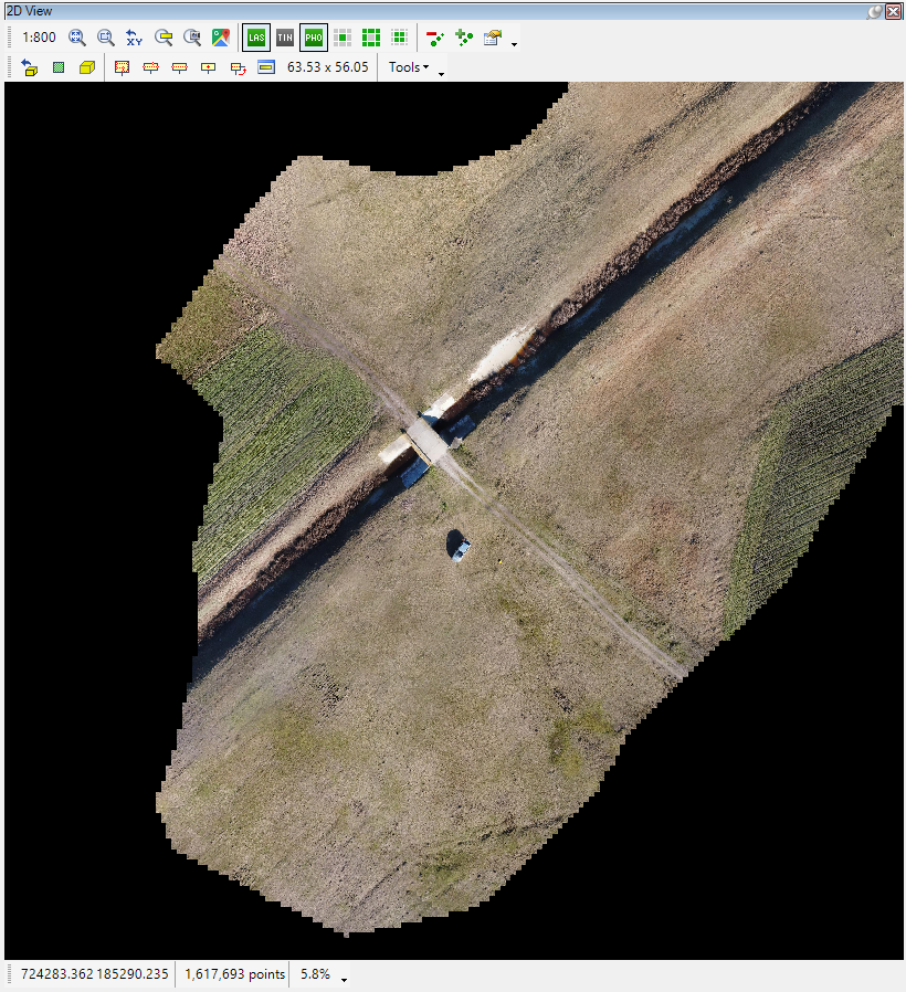
¶ Rasters
PCS software supports rasters as well. In our terminology, raster refers to orthophotos, aerial or satellite images. The software supports GeoTIFF rasters and ECW files with the attached projection files. In order to be used, a raster image shall be georeferenced. Technically, it is possible to use non-georeferenced images, but they have no practical use from a geodetical or GIS point of view.
Rasters can be seen only in 2D view; users cannot load or visualize them in the 3D view.