¶ Photos toolbar
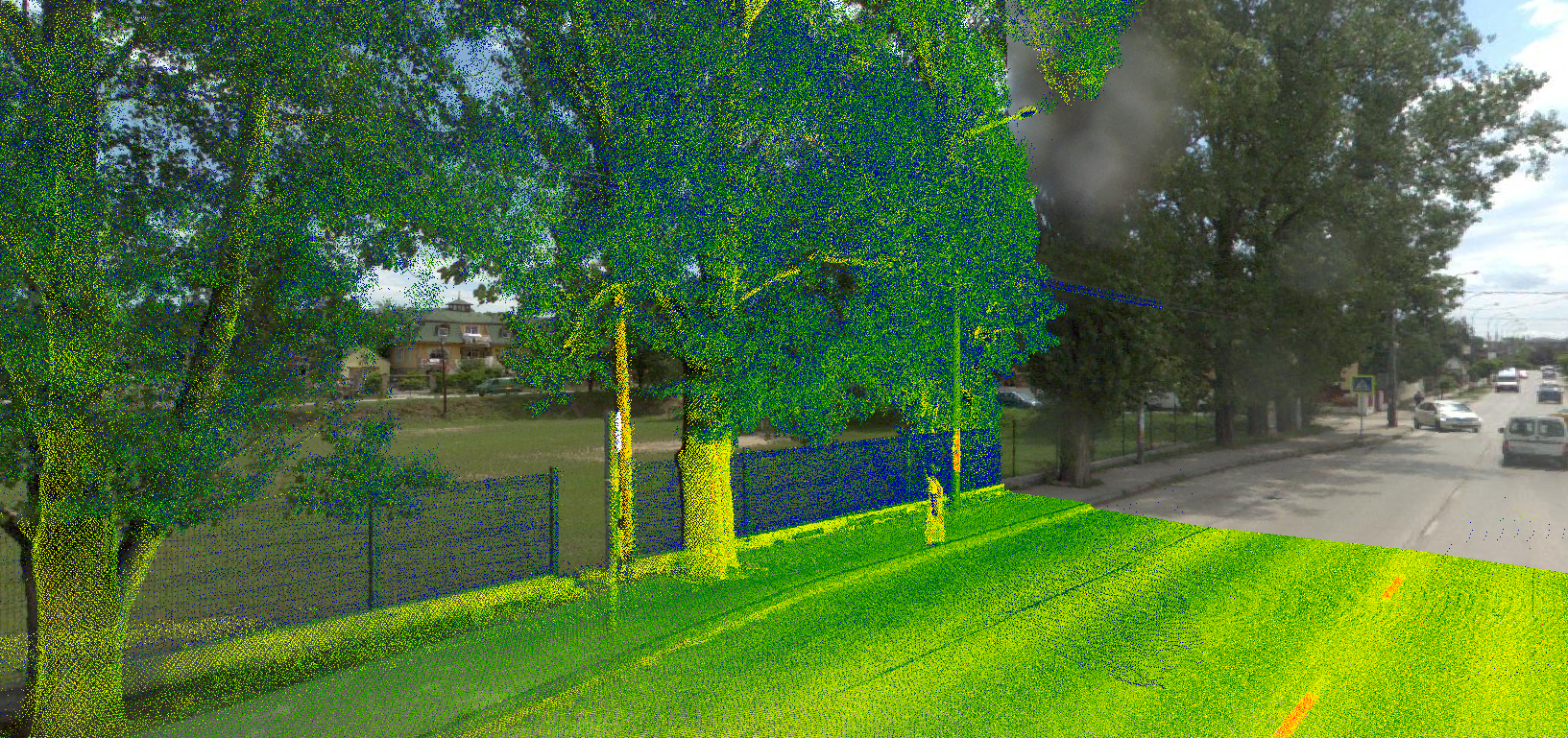
The photos toolbar allows the users to utilise the geophotos within PCS. The geophoto locations can be visualised in 2D and 3D, but to see the exact image together with the point clouds, the 3D view shall be used. The toolbar - and the geophotos functionality in general - allows the user to use any sensor data - TLS, MLS, ULS, and SLAM - if the geophotos are stored in standard TopoDOT IPRJ or TerraPhoto Mission File format. The toolbar is always available, even if no image data has been loaded into the project.

The description of the tools is the following:
- Photo On/Off - Turn on or off the geophoto visualisation. If no geophoto has been selected before, nothing will happen upon switching the toggle on. If a geophoto has been chosen, but the clip frame has been moved, and the 3D has been reloaded, the geophoto becomes out-of-sync and shall be selected again. If the geophoto is selected and the photo is turned on, the 3D view camera will be locked to the camera's focus point, which means that the user can inspect the cloud and the surroundings only from the camera's perspective. To get back control, turn off the geophotos. After turning off the geophotos, the camera movement might be odd, as the camera settings are different for standard 3D view and the camera view. To get back the proper control, after turning off the geophotos, change the target point and press the scroll button, as this will reset the movement. As the user inspects the geophotos, the point cloud - assuming proper projection and calibration - and the vectors will be aligned with the geophotos. The user can use all functions as usual while the geophotos are active, e.g. new elements can be extracted, or modification tools can be used. Please note that the software does not allow the user to extract directly from photos. If the point cloud is turned off, the user can extract elements from the 3D view, but these elements are not extracted from the geophotos, but from the underlying point clouds. If some objects are extracted or modified while the geophotos are turned on, it is highly recommended to cross-check the work in 3D view after turning off the geophotos.
- Select Photo - Select a geophoto. After starting the tool, the user can select a geophoto by clicking the geophoto marker in 2D or 3D view or selecting a location in 2D or 3D. After choosing the location, PCS will calculate the best-fit image into which the selected area will fall. Selecting a geophoto will automatically turn on the Photos. A new location can be chosen if the geophotos are turned on.
- Rotate Camera - The tool is currently unavailable.
- Reload 3D by photo - The software will adjust the clip-frame to the near environment of the geophoto. The tool is currently under review.
- Rotate photo on view - The tool is currently unavailable.
- Find photo to target point - The tool is currently unavailable.
- Previous/Next Photo - Step count - The user can move between geophotos with the previous-next buttons. The step count can define how many photos the user wants to go over. If set to 1, the next photo option will jump to the next geophoto; if set to 2, it jumps to the second geophoto, and so on.