¶ Google Maps Window
The Google Maps window allows the users to inspect the current area on Google Maps, including Street View. To use the Google Maps Window properly, the user shall have the point cloud in a global projection and know the projection name or EPSG code. The projection shall be set in the Project Explorer window. Using the Google Maps window with local projection clouds is impossible as PCS cannot identify the location by coordinates. The user might be able to navigate the correct location in the window, but this is manual labour, and the tool is not designed for this.
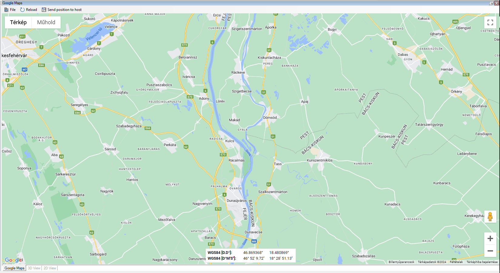
After the projection is set, the user can press the "Clip frame center in Google Maps" button on the 2D window's Navigate toolbar to open the Google Maps window. The tool will open the Google Window, which is a dockable window. Users can access Google Maps, Google Sattelite images and the StreetView functions. The general distance measurement or what is here functions are not available.
The location which opens in the Google Window will represent the centre point of the current clip frame. Moving the clip frame and pressing the "Clip frame center in Google Maps" button will reload the map to the selected location. If the user is in the Street View mode, this function will still move the map to the current centre of the clip frame but will not exit the street view. The tilted 3D view can also be accessed if available.
The Google Maps Window has a few tools in the header:
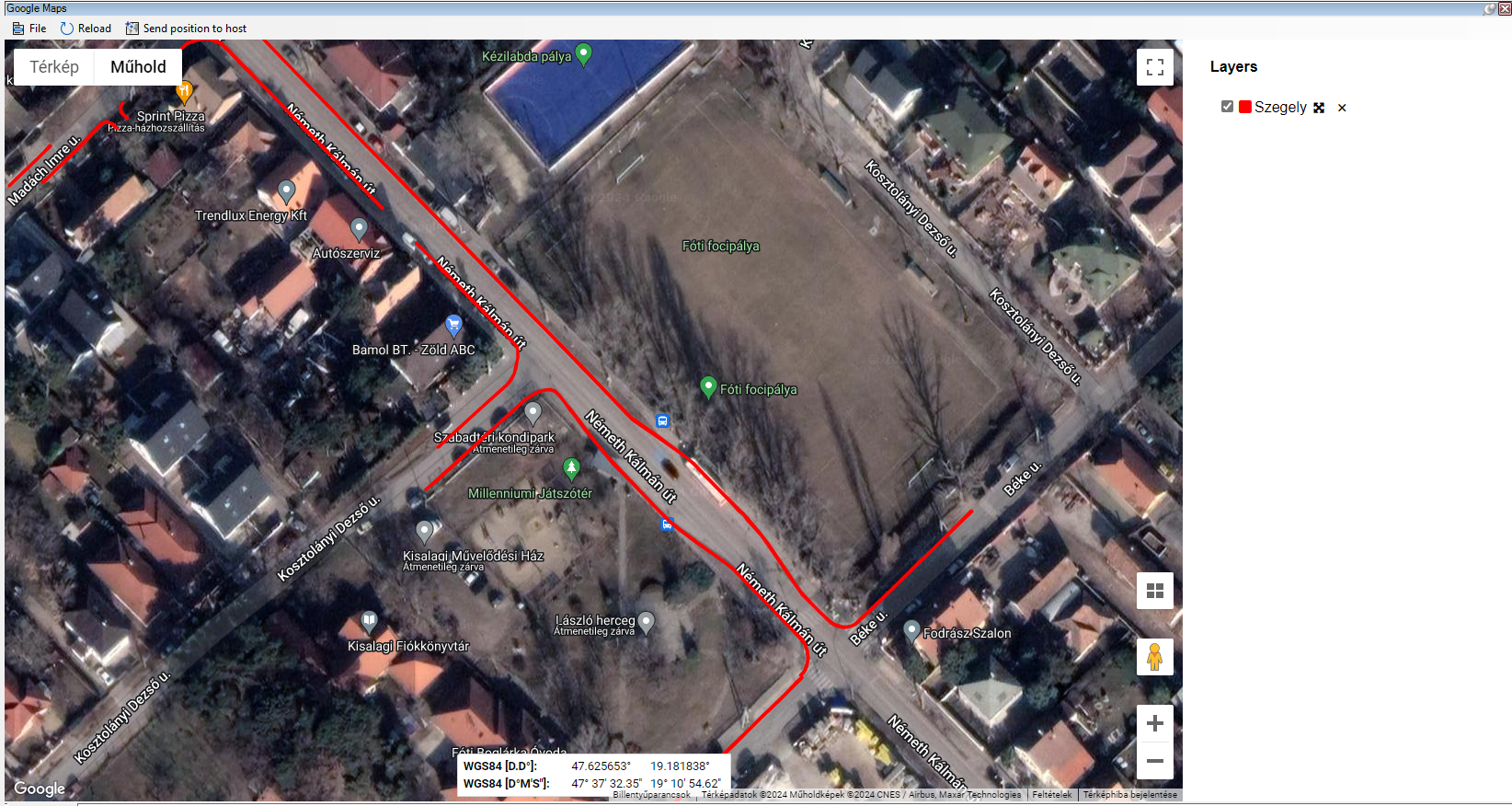
- File Menu - The file menu contains tools to open GoeJson files. GeoJson files can be opened in this window within PCS. They will appear in the Google Maps window, can be turned on or off, and the attributes can be accessed by clicking the objects.
- Reload - Reload the Google Maps window, setting it to default state.
- Send position to host - The user can move the clip frame to the centre point of the current Google Maps location's centre.
Using the street view page, the user can select the Show on Google Maps link at the top left corner of the street view, which will open a separate internal browser page where previous street view images can be inspected. The Google Maps window does not support inspecting older satellite images from Google Maps.